2024. 11. 28. 08:31ㆍWonderful World
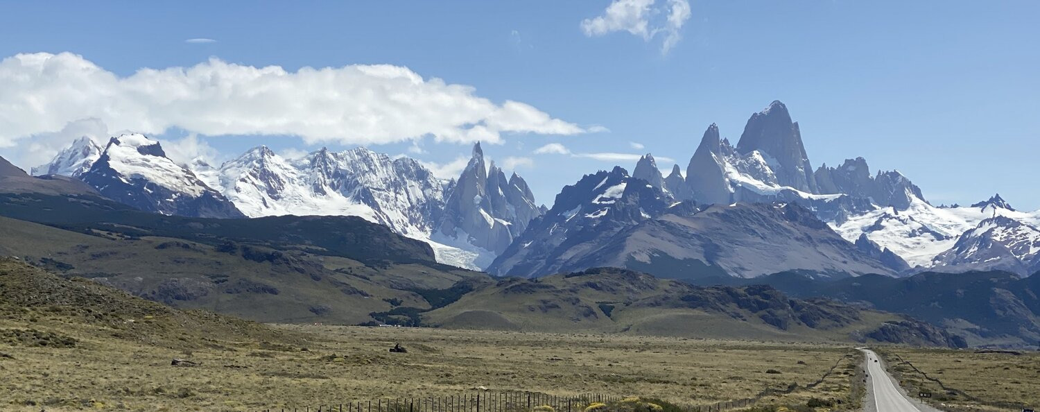
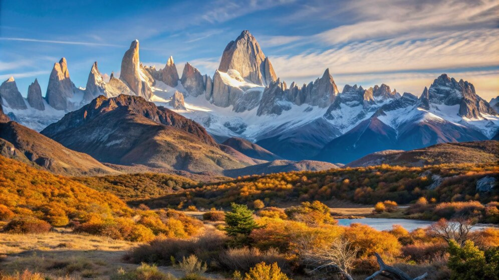
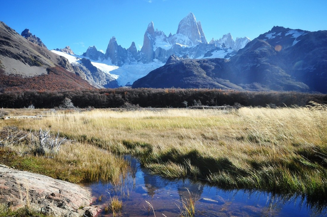
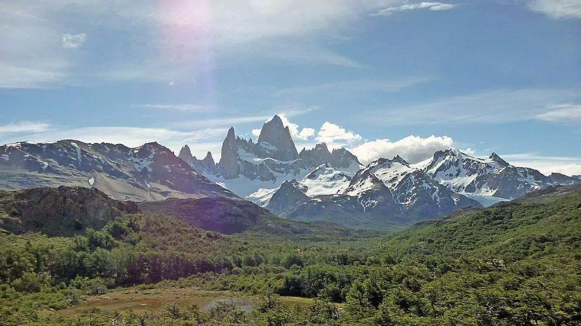
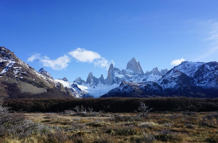
The Fitzroy Massif
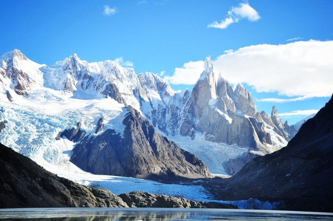
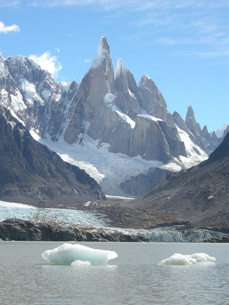
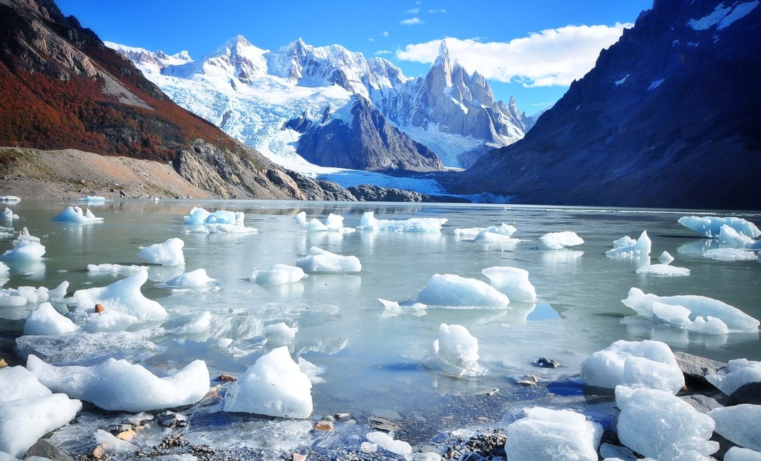
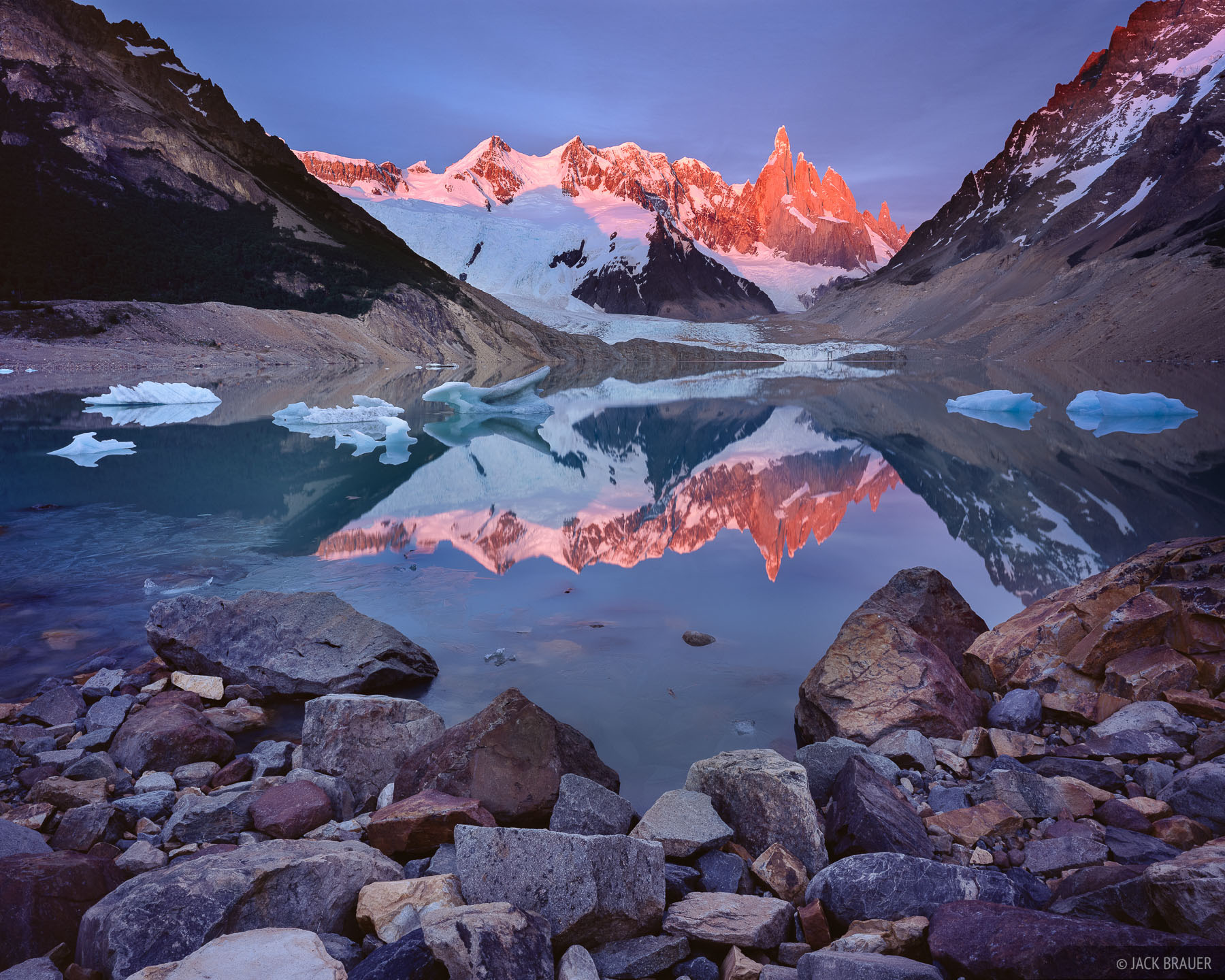
East face of the en:Cerro Torre,
with the Torre glacier and Laguna Torre (including 2 icebergs).
Los Glaciares National Park (north part), Santa Cruz province, Argentina.
The Laguna Torre lake is located in the Los Glaciares National Park, Santa Cruz Province, Argentina. It is formed from glacial melt water and is a popular site for hikers and climbers to see surroundings peaks, including the east face of Cerro Torre.
The glacial lake is sited 10 km west of the El Chaltén tourist village, where it can be easily accessed by hikers between the months October to April.
Cerro Torre et montagnes
Photo de El Chaltén, Patagonie argentine en Argentine
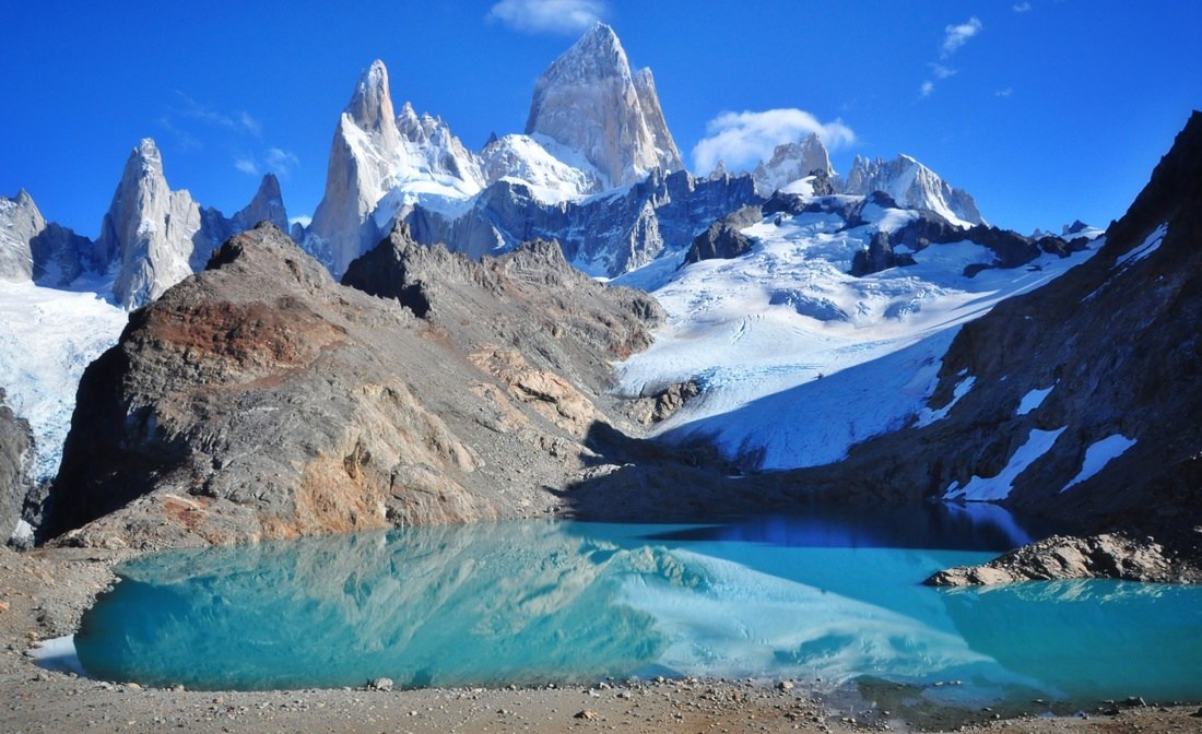
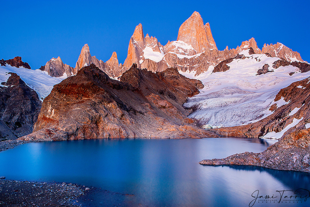
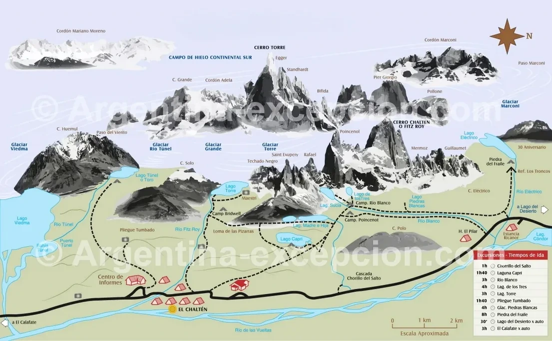
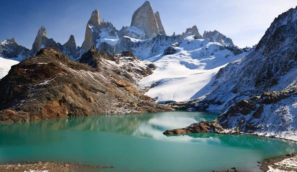
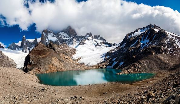
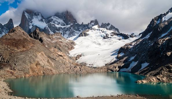
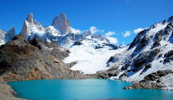
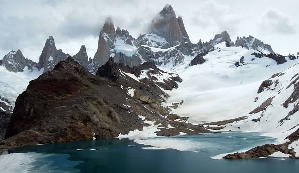
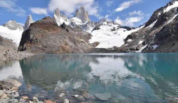
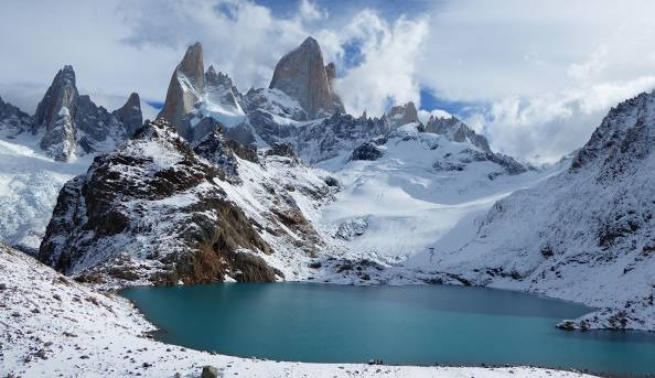
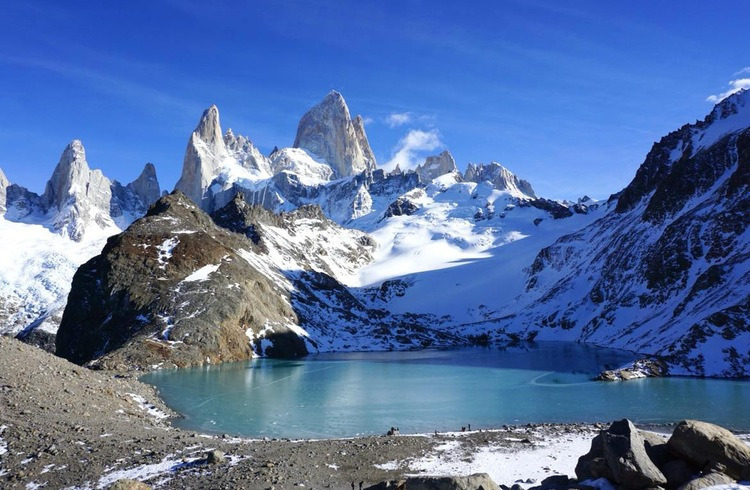
Laguna de Los Tres
El Chaltén, Santa Cruz Province, Argentina
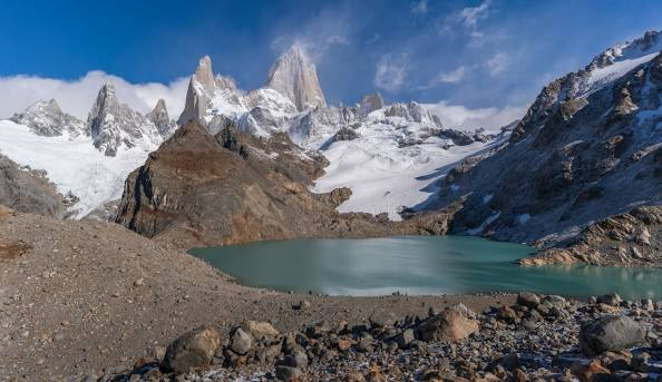
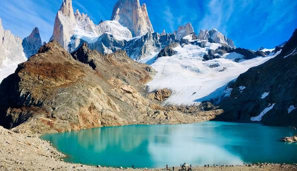
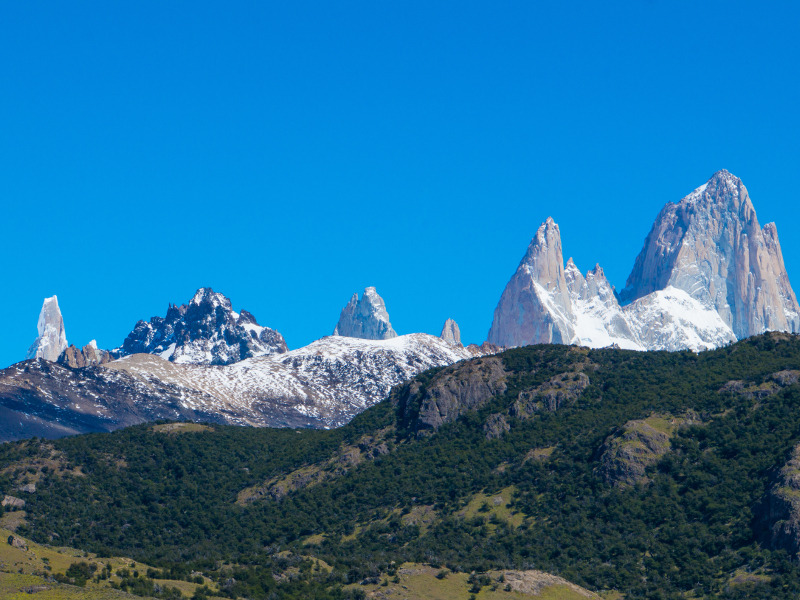
Macizo del Fitz Roy desde la Laguna de Los Tres. Mirando al Oeste
Laguna de los Tres is probably the most famous and most popular viewpoint for Cerro Fitz Roy. "Los Tres" refers to the three peaks that you can see from the laguna's shore: Fitz Roy (3,405m), Poincenot (3,002m), and Saint-Exupéry (2,558m), but the view is magnificient around all 360 degrees.
Laguna de los Tres는 아마도 Cerro Fitz Roy의 가장 유명하고 인기 있는 전망대일 것입니다. 로스트레스(Los Tres)는 라구나 호수가에서 볼 수 있는 피츠로이(3,405m), 푸앵스노(3,002m), 생텍쥐페리(2,558m) 3개의 봉우리를 뜻하는데, 360도 모두 전망이 웅장하다.
This is a very popular destination, for good reason, so don't expect any solitude if you're there between November and February. The path up is well trodden and relatively easy going, with some steeper sections towards the top.
Whilst there's only one approach to the laguna and the viewpoint, you can incorporate it into your itinerary in a few different ways:
- Day hike from El Chalten. This is a route where you have to retrace your steps, but it's a varied and interesting route and the round-trip might take around 8 to 9 hours.
- Start from Hosteria Pilar or Piedra del Fraile campsite to the North, and return back to El Chalten at the end of the day. This is again a full day of around 8 to 9 hours, but has the benefit of taking in Glaciar Piedras Blancas in the first part of the day, and you don't need to retrace your steps.
- Use Camping Poincenot as base. This is a good option if you want to break it into shorter days; from here it's about an hour up to the viewpoint. The campsite is nice, if a little busy, and around a 3 hour hike from El Chalten.
Blocs de glace de la Lagune Torre
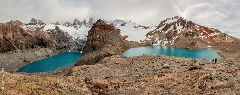
Beautiful panoramic view of Laguna De Los Tres, Monte Fitz Roy, Torre y Poincenot, El Chalten, Patagonia, Argentina
Laguna de los Tres, Argentina
Laguna de los Tres, Argentina
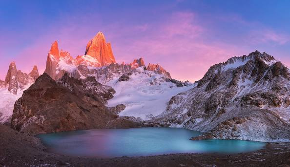
Hot pink and deep blue complete a complex palette for one of Patagonia's foremost peaks. As a sizzling sunrise lights up Monte Fitz Roy, Laguna de los Tres appears like a frosted mirror, awaiting the sun's rays. Looking west toward this Argentine national icon, we'll see its multiple summits reflected perfectly on the frigid water once midday light washes the landscape.
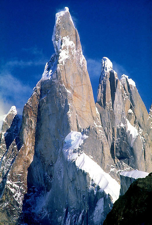
Elevation : 3,128 m (10,262 ft)
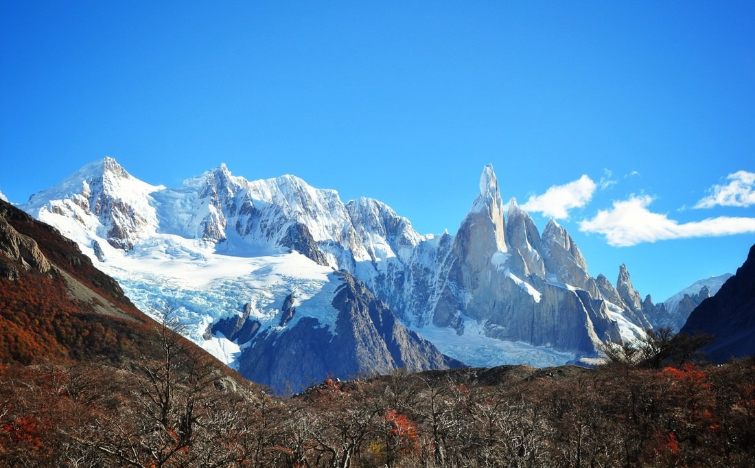
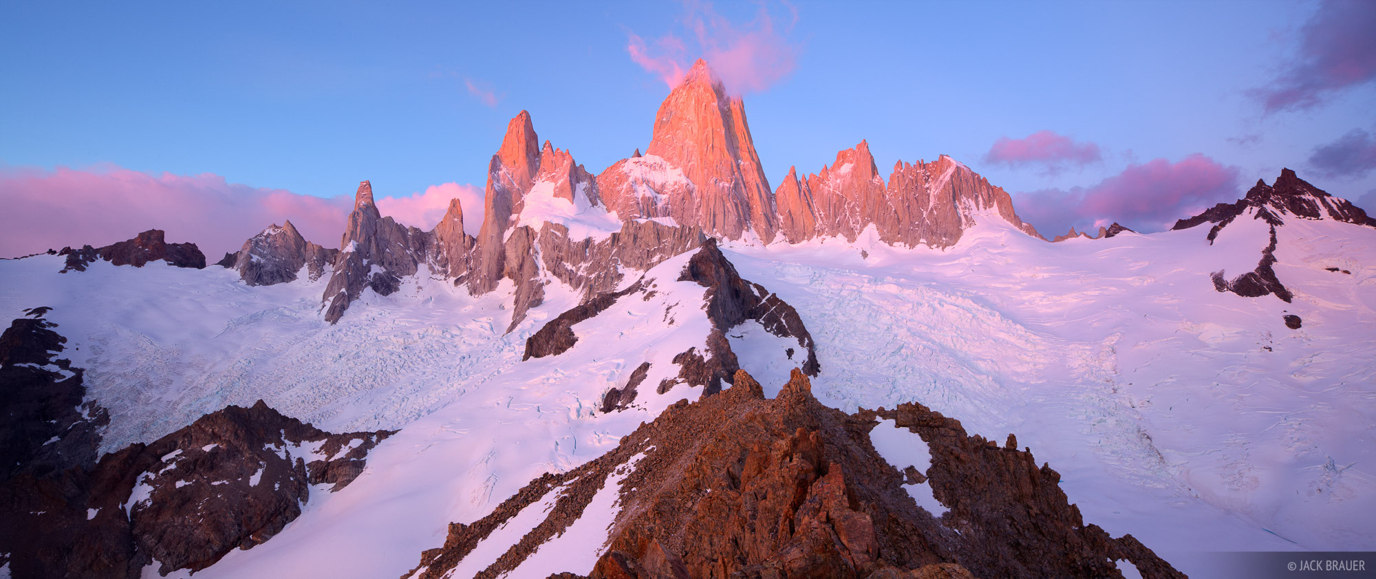
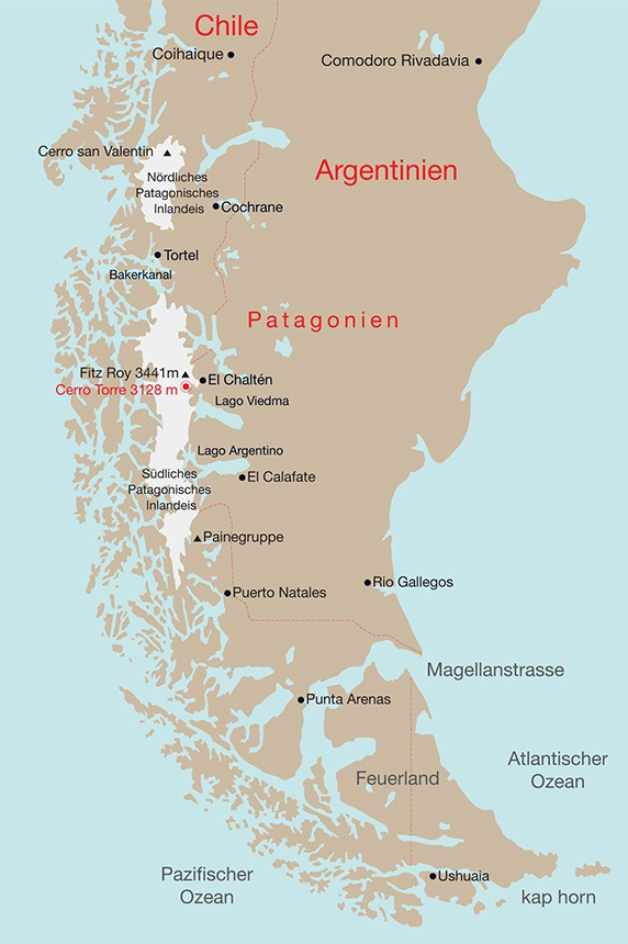
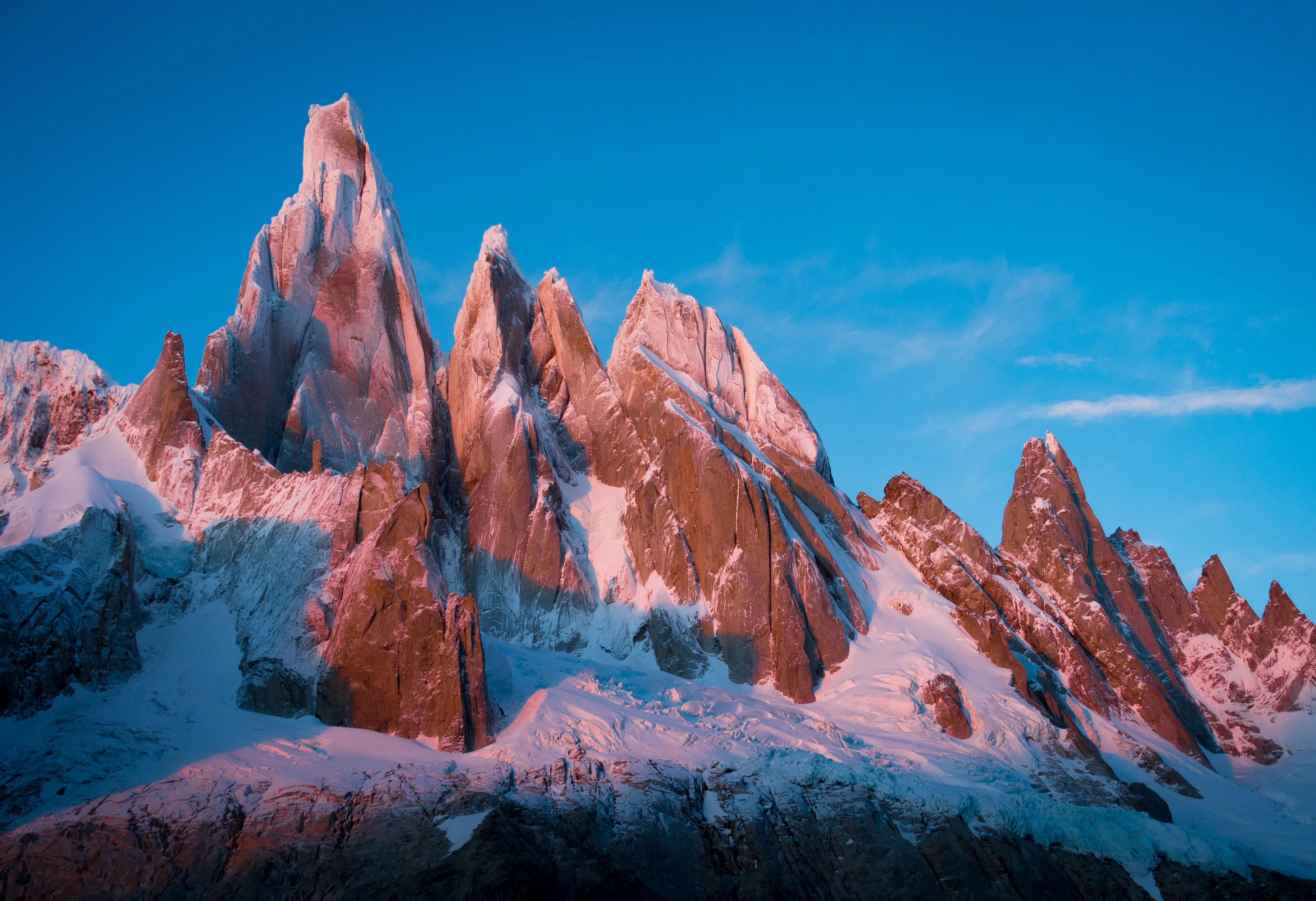
Cerro Torre is one of the mountains of the Southern Patagonian Ice Field in South America. It is located on the border dividing Argentina and Chile, west of Fitz Roy (also known as Cerro Chaltén). At 3,128 m (10,262 ft), the peak is the highest of a four mountain chain: the other peaks are Torre Egger (2,685 m (8,809 ft)), Punta Herron, and Cerro Standhardt. The top of the mountain often has a mushroom of rime ice, formed by the constant strong winds, increasing the difficulty of reaching the actual summit.
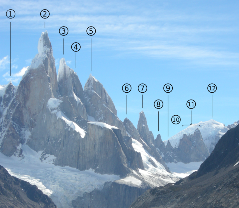
Some peaks of the Cerro Torre Group. 2: Cerro Torre, 3: Torre Egger, 4: Punta Herron, 5: Aguja Standhart, 7: Aguja Bífida, 11: Cuatro Dedos
East face of the cerro Torre group (Fitz Roy massif, Patagonia) taken from the Laguna Torre, and with names as following: 1: Torre Rafael Juárez 2: Cerro Torre 3: Torre Egger 4: Punta Herron 5: Aguja Standhart 6: Perfil del Indio 7: Aguja Bífida 8: Torre Pachamama 9: Torre Achachila 10: Torre Inti 11: Cuatro Dedos 12: Domo Blanco
Cerro Torre Range at Sunrise
Hike to Laguna de los Tres and Fitz Roy from El Chalten
wheresmildo.com
https://wheresmildo.com › All › Destinations
Hike to Laguna de los Tres and Fitz Roy from El Chalten
February 15, 2024
Take a 22km-return day hike from El Chalten in Los Glaciares National Park to Laguna de los Tres, sitting at the base of Mount Fitz Roy.
While we were travelling around Argentina, this is undoubtedly one of my favourite day-hikes.
El Chalten
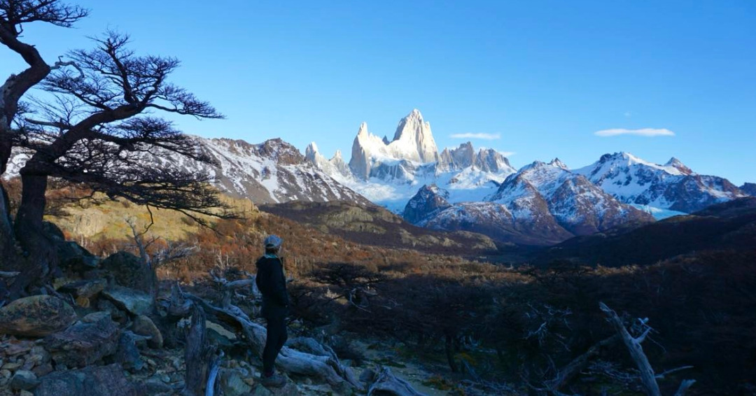
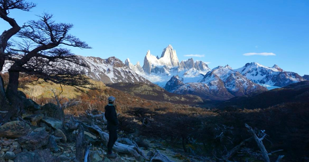
As we get closer to El Chalten out the front window of the bus I can see the very recognisable silhouette of the Patagonia logo, Mount Fitz Roy. Its snowy slopes are illuminated by the morning rays of sun. Excitement is building as we get closer to this famous Argentinian town among hikers and climbers.
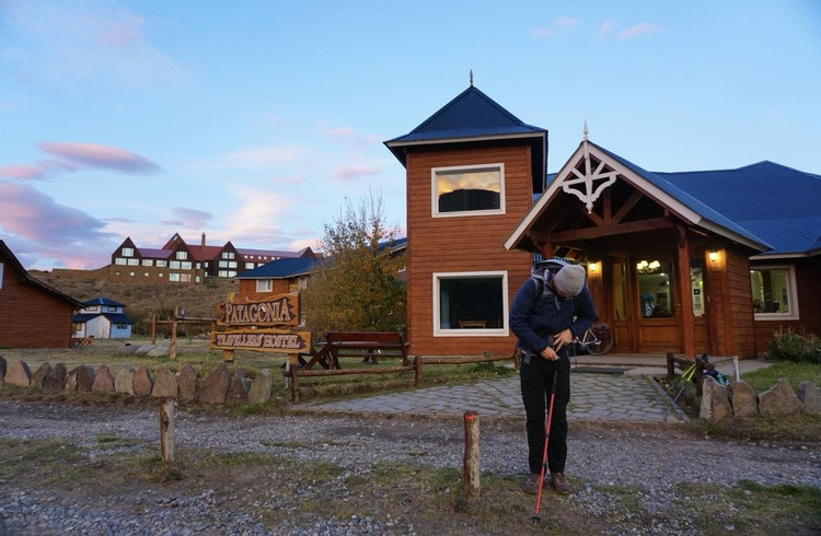
As we enter town we stop at the information centre for a briefing on the trails, then we walk from the bus station to Patagonia Hostel (1.3km).
After unpacking our things, we walk to a nearby bakery and buy a coffee, two empanadas and a cake to share. The town is eerily quiet at this time of year. No cars are driving on the roads, no travellers are walking around town. It feels like it’s just us.
It’s mid-May, which is a very quiet time to travel through Patagonia as it’s the start of a long, dark winter.
How to get to Laguna de los Tres from El Chalten
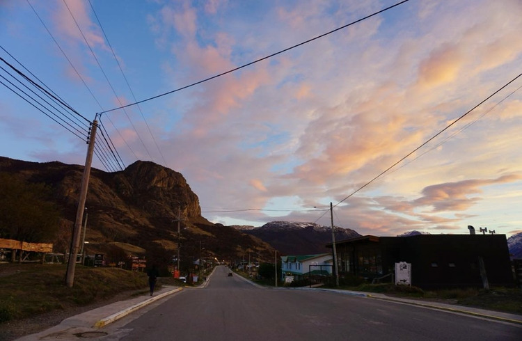
At 9am we leave our hostel in El Chalten and walk to the trailhead at the end of San Martin Street (you’ll see a sign that says ‘Sendero El Fitz Roy’) to start the hike to Laguna de los Tres.
Early morning in El Chalten. The trailhead is right beneath that rock at the end of the road.
The hike is approximately 11km one way, and we’ve packed a tasty lunch to enjoy when we reach Laguna de los Tres.
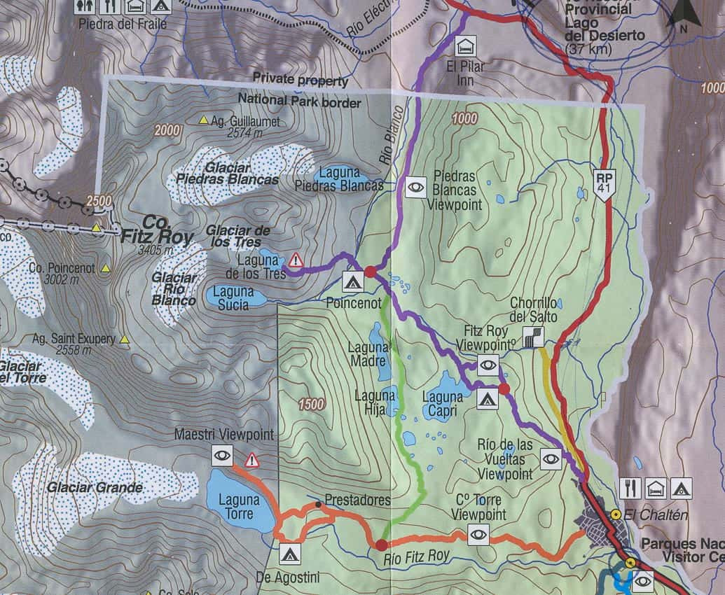
We’ll be following the purple trail that leads to Laguna de los Tres.
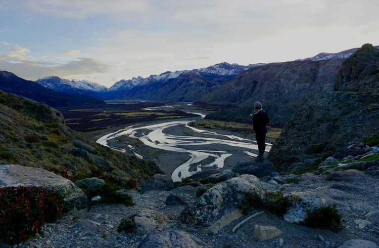
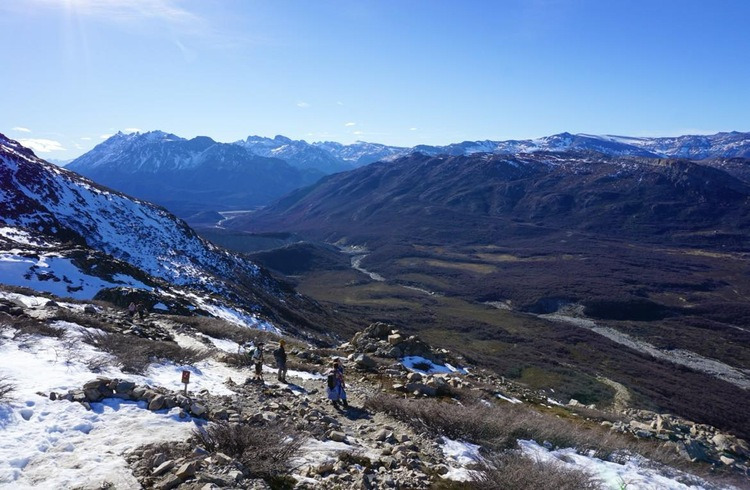
The first section from the trailhead is steep and winds up a rocky path. At the top we stop to look out over Rio de las Vueltas. It’s still early in the morning and the sun hasn’t risen over the mountains. It’s cold, but it’s thankfully not windy.
Rio de las Vueltas.
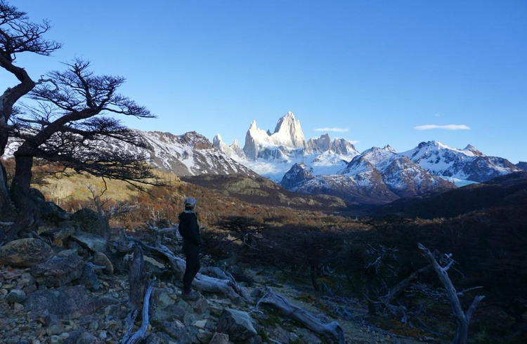
The next section of the hike takes you through a thick green forested area, before we reach a viewpoint where we see Fitz Roy in the distance – at this point I begin to question whether we can make it all the way there and back before the sun goes down.
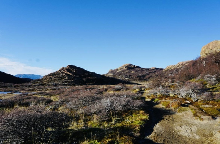
Descending through the forest we reach an easy, flat, winding path through a clearing where we can finally enjoy the sunshine.
We walk past Laguna Capri, and cross a wooden bridge over a gushing river of ice melt flowing from the glaciers higher up.
The hike is long but mostly easy until the final ascent up rocks. If there’s been heavy snow or rain recently, keep in mind this section will be very slippery. The path is clear for us, but there is snow beside us, and some ice on the ground.
As we get higher, I am desperately trying not to slip, carefully placing my hiking boots away from ice for the last few metres before we reach the top, where I sigh with relief. We made it.
Lunch at Laguna de los Tres
Laguna de los Tres, at last.
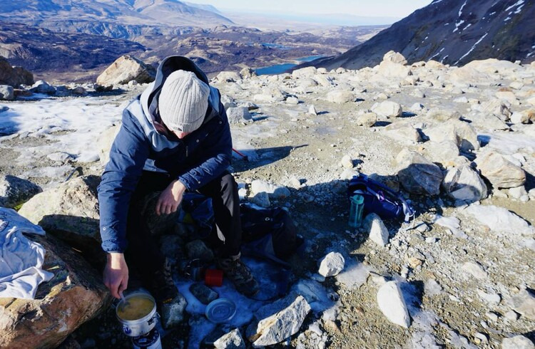
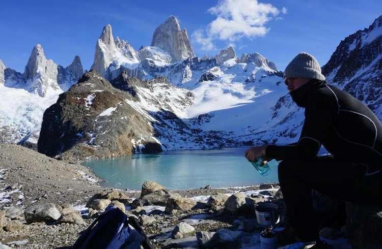
It’s 12:45pm when we reach Laguna de los Tres and fire up our portable camping stove to cook our mac n cheese.
Lunch goes down a treat as we sit and look at the mountains. There are a few other groups of hikers around, but not many. I can imagine how busy this place must be in peak season.
Mark cooks the mac n cheese at the lookout.
We spend an hour resting before we start the hike back to the hostel. We stop to get groceries on our way back to the hostel so we can cook up a hearty meal after a long day of hiking.
But it’s not over yet, tomorrow we’re hiking to Laguna Torre.
Planning a trip to El Chalten and want to know more? Drop a comment, I’m happy to help with your trip planning.
'Wonderful World' 카테고리의 다른 글
| The 1st,2nd,3rd Tallest Mountain and 4th on Earth (0) | 2024.11.28 |
|---|---|
| Cerro Torre - Via dei Ragni ; Argentina's Los Glaciares National Park (2) | 2024.11.28 |
| 중부내륙선 , 판교발 KTX, 문경까지 90분대... (1) | 2024.11.28 |
| Gog and Magog Gibson Steps, Great Ocean Road, Victoria , Australia (1) | 2024.11.26 |
| Valle de la Luna in the Atacama Desert, Chile (1) | 2024.11.26 |
